Si Sa Ket
Forest trails, lake swims and the kind of stars you forget exist.
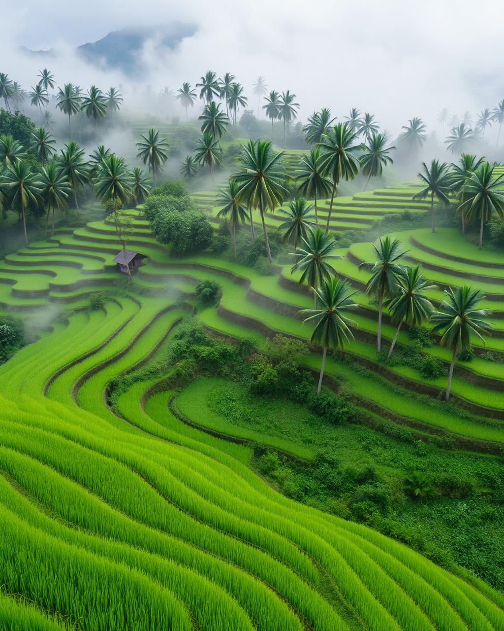
Si Sa Ket thrives in the humid silence of the lower northeast, where the Khorat Plateau breaks into the lush greenery of the Dângrêk Mountains. In the early morning, the mist clings to the clifftop of Pha Mo E Daeng, overlooking the Cambodian plains, while the scent of fermented fish and fresh garlic from Kantaralak markets cuts through the humid air. Beyond the ancient sandstone carvings, the landscape dissolves into the rhythmic splashing of Huai Sala Reservoir, where emerald forest trails lead to cold-water lake swims. When the monsoon rains subside in November, the sky clears over the rural districts of Kanthararom, revealing a canopy of stars untainted by city glow. It is a place of deep clay soils, vibrant red onions, and the quiet rustle of silk looms in village shade.
Best time to visit Si Sa Ket
The best time to visit Si Sa Ket is generally summer for easier access, or winter for dramatic light and solitude. Peak season pushes prices and crowds up; shoulder season is almost always the smarter trade-off — you'll find the same restaurants open, the same scenery, and noticeably better hotel value on Booking.com.
How to get to Si Sa Ket
Si Sa Ket is in Thailand, Asia. Long-haul connections route through Singapore, Bangkok, Tokyo, Seoul or Dubai, with onward short-hauls to the rest of the region. Once you arrive, allow a day to settle in — most travellers underestimate jet lag and over-pack day one.
Things to do in Si Sa Ket
Plan your days around hiking, wildlife spotting, scenic drives and photography. Build in at least one slow morning; the best memories rarely come from packed itineraries.
Where to stay in Si Sa Ket
On Booking.com, properties in Si Sa Ket start from around $60 per night. Filter by guest review score (8.5+), free cancellation, and your preferred neighbourhood. Booking close to the centre saves transit time and almost always pays for itself in extra hours actually enjoying Si Sa Ket.
Si Sa Ket travel FAQs
- When is the best window for hiking and clear night skies?
- Visit between November and February when the humidity drops and the rainy season has left the forests lush but accessible. This period offers the sharpest visibility at the Pha Mo E Daeng viewpoint and the brightest stargazing conditions in the rural highlands.
- What is the most efficient way to navigate the rural districts?
- Renting a private car or motorbike from the provincial capital is essential, as public songthaews are infrequent and don't reach deep forest trailheads. Roads are generally well-paved, but you should navigate with an offline map since cell signal can be spotty near the southern border parks.
- Where should nature-focused travelers base themselves?
- Stay in the Kantaralak district to be within striking distance of Khao Phra Wihan National Park and the major waterfalls. While the city center offers standard hotels, the southern periphery has local eco-resorts and guesthouses that provide direct access to the mountain trails.
- What is the local food specialty I should try after a day of trekking?
- Look for Gai Yang Huai Thap Than, a regional style of grilled chicken famous for being skewered on three sticks of citrus wood which imparts a distinct smoky aroma. It is traditionally served with spicy papaya salad and a side of the dark, aromatic 'Srisaket Fragrant Rice' grown in the local volcanic soil.