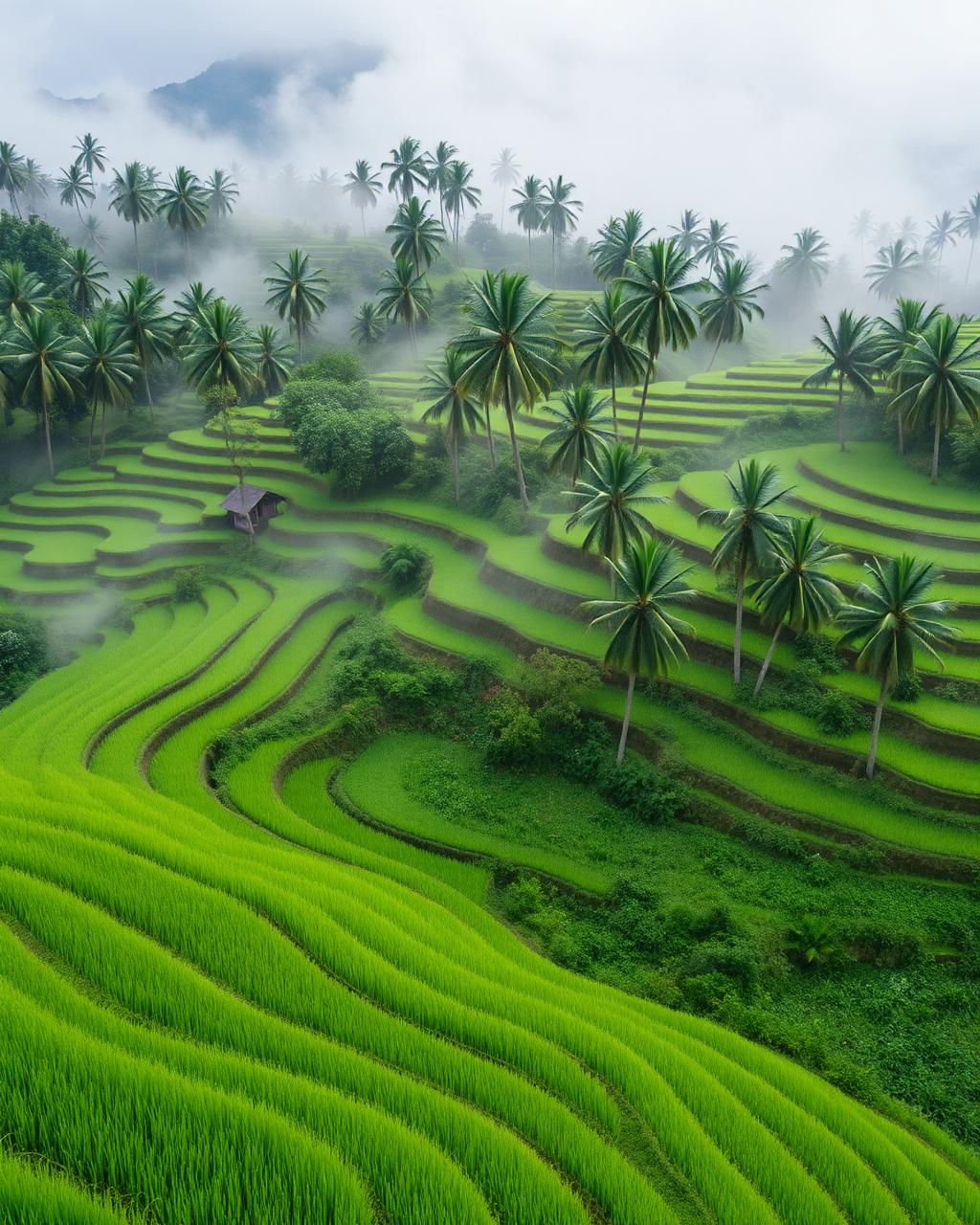
Totonicapán
Forest trails, lake swims and the kind of stars you forget exist.
High in the Altiplano, Totonicapán trades the backpacker bustle of nearby Quetzaltenango for the deep silence of the Chuipache coniferous forests. Morning light hits the pink stone facade of the San Miguel Arcángel church, while just blocks away, the municipal market hums with the scent of freshly griddled shecas and woodsmoke. During the dry season from November to April, the air turns crisp and crystalline, ideal for climbing towards the high-altitude plateaus where the Milky Way illuminates the K’iche’ heartland with startling clarity. Whether drifting through the volcanic-heated pools of Los Vahos or navigating the steep, pine-needle-slick trails of the communal forests, you are immersed in a landscape defined by ancestral land management and a rigorous, quiet beauty that feels entirely disconnected from the modern travel circuit.
Best time to visit Totonicapán
The best time to visit Totonicapán is generally summer for easier access, or winter for dramatic light and solitude. Peak season pushes prices and crowds up; shoulder season is almost always the smarter trade-off — you'll find the same restaurants open, the same scenery, and noticeably better hotel value on Booking.com.
How to get to Totonicapán
Totonicapán is in Guatemala, Americas. Direct flights from North American hubs are plentiful; from Europe, expect a long-haul into New York, Miami, Toronto or Mexico City and a short connection. Once you arrive, allow a day to settle in — most travellers underestimate jet lag and over-pack day one.
Things to do in Totonicapán
Plan your days around hiking, wildlife spotting, scenic drives and photography. Build in at least one slow morning; the best memories rarely come from packed itineraries.
Where to stay in Totonicapán
On Booking.com, properties in Totonicapán start from around $110 per night. Filter by guest review score (8.5+), free cancellation, and your preferred neighbourhood. Booking close to the centre saves transit time and almost always pays for itself in extra hours actually enjoying Totonicapán.
Totonicapán travel FAQs
- When is the best time to experience the clear skies and hiking trails?
- Visit between December and February for the most reliable weather, characterized by bright sunny days and chilly nights that drop toward freezing. This window offers the best visibility for stargazing and avoids the heavy afternoon downpours that turn forest tracks into slick mud.
- What is the most efficient way to navigate the region?
- Frequent 'fletes' (pickup trucks) and microbuses connect the main town to surrounding villages like San Francisco El Alto. For specific trailheads in the communal forests, it is best to hire a local guide in the town center, as many routes are unmarked and cross through sensitive communal lands.
- Where should I look for accommodations in Totonicapán?
- Options within the city are modest and functional, often centered around family-run d'hotes near the central plaza. For a more immersive nature experience, seek out rustic eco-lodges or community-run cabins located on the outskirts toward the Maria Tecún wilderness area.
- What is the etiquette for visiting the local markets and communal forests?
- Totonicapán is culturally traditional; always ask for permission before photographing people, particularly weavers at their looms. If you plan to hike deep into the woods, check in with the 48 Cantones office, the local indigenous authority that manages the forest resources and ensures hiker safety.